Utility Detection & Workforce Safety Solutions
Utility Detection Solutions
Civil engineering companies need accurate utility location data now more than ever. Not only does pinpoint accuracy provide peace of mind for construction managers, but it is also essential for ensuring construction projects remain on track.
The knock-on effect of a utility strike can result in transport disruption, extended contracts for site workers, delays to project deadlines, skyrocketing costs and an enhanced risk to the safety of site workers.
Thankfully the challenge of maintaining high definition accuracy through utility mapping surveys has become increasingly achievable through intelligent survey technology that provides on-site data for immediate use.
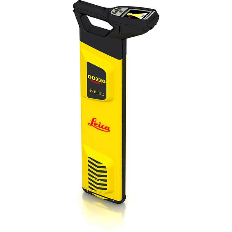
Location Detection
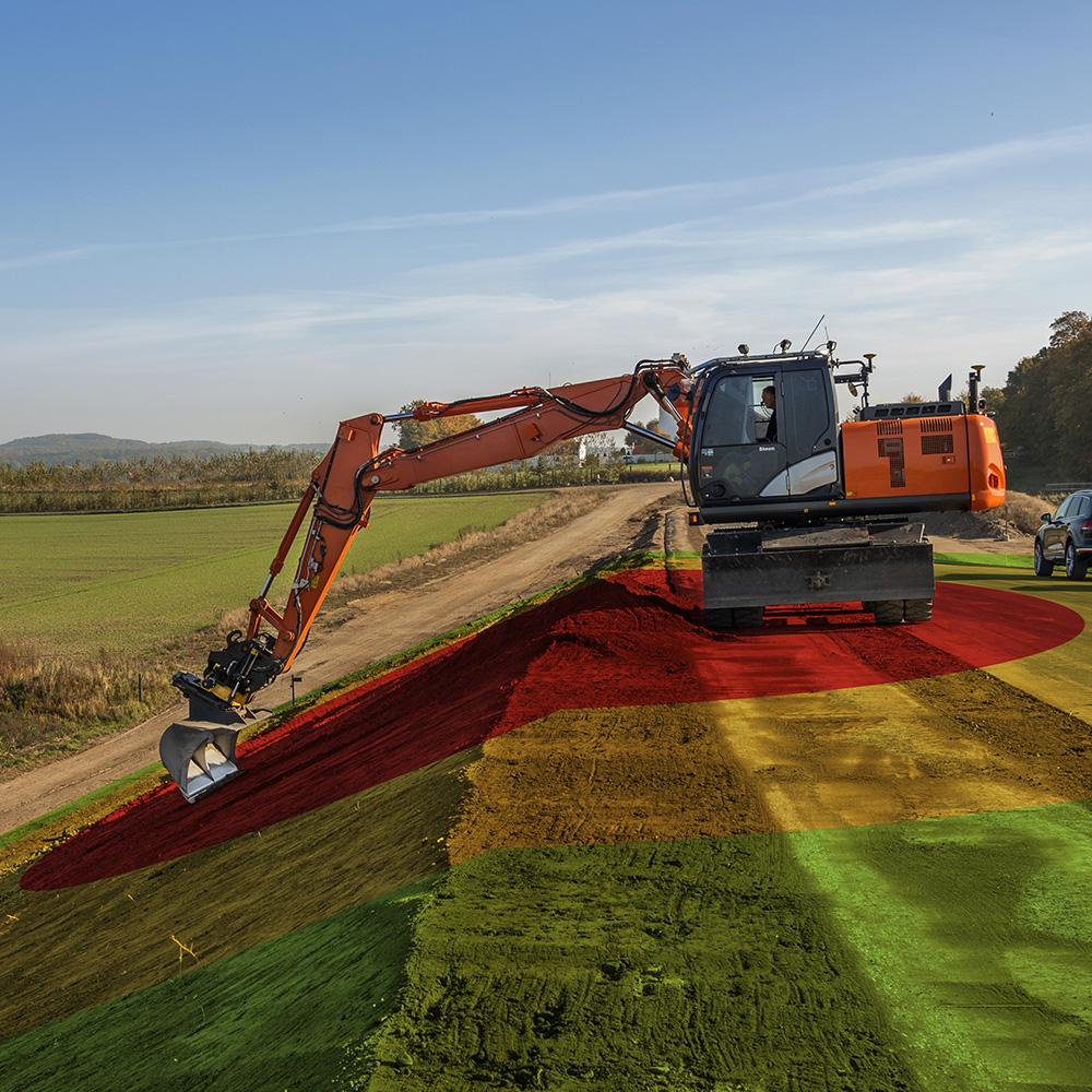
Safety Awareness Solutions
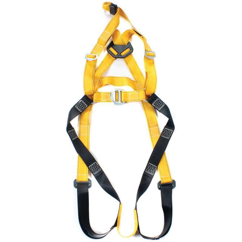
Height Safety
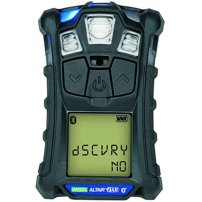
Gas Detection

Personal Protection Equipment
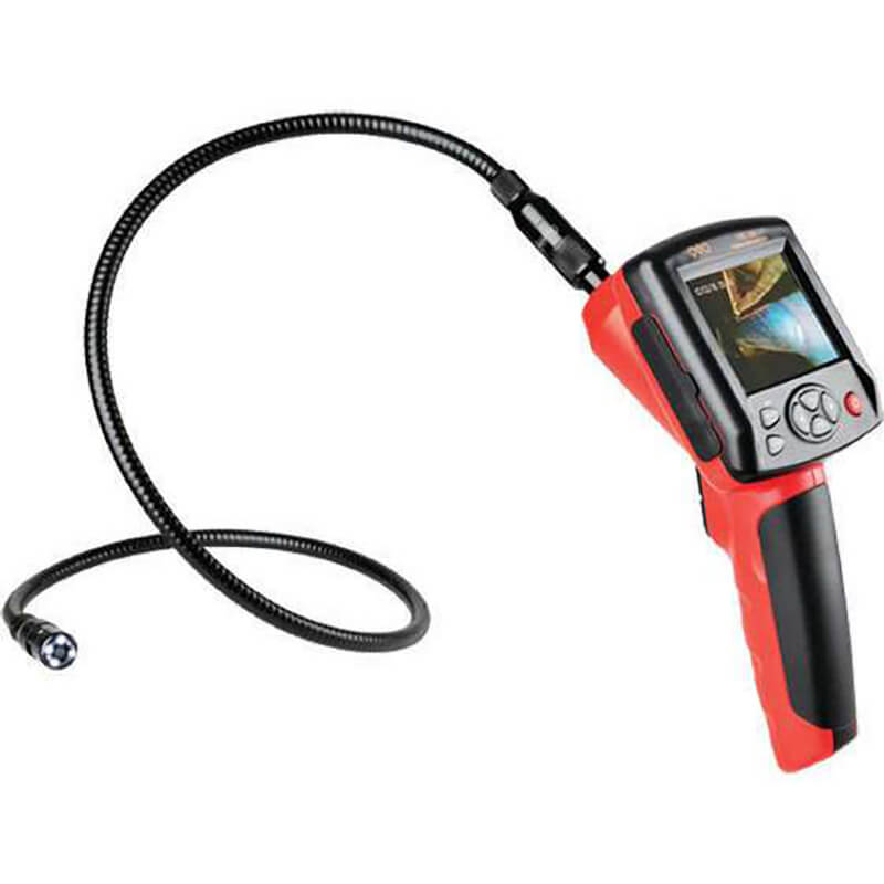
Inspection Cameras
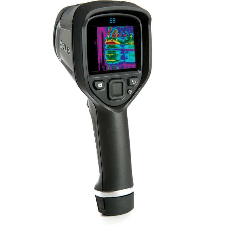
Thermal Imaging Cameras
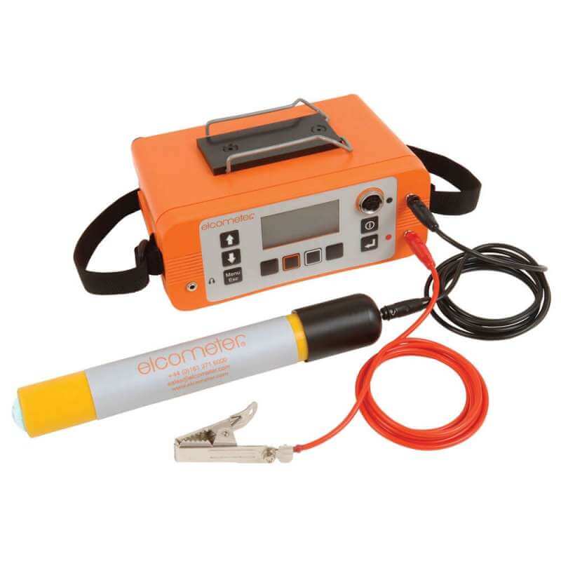
Covermeters

Warning Signs, Cones and Lights
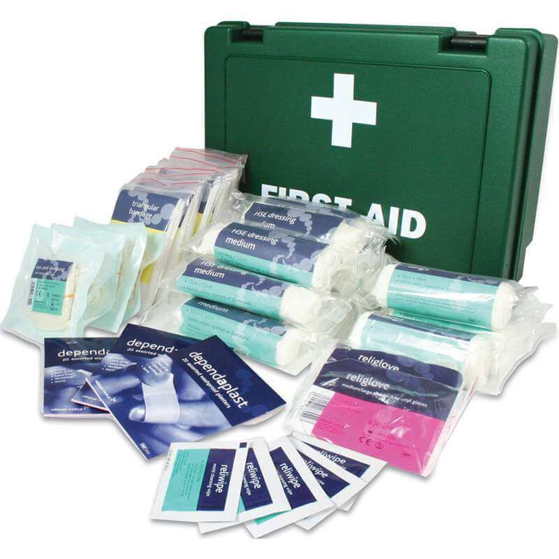
First Aid
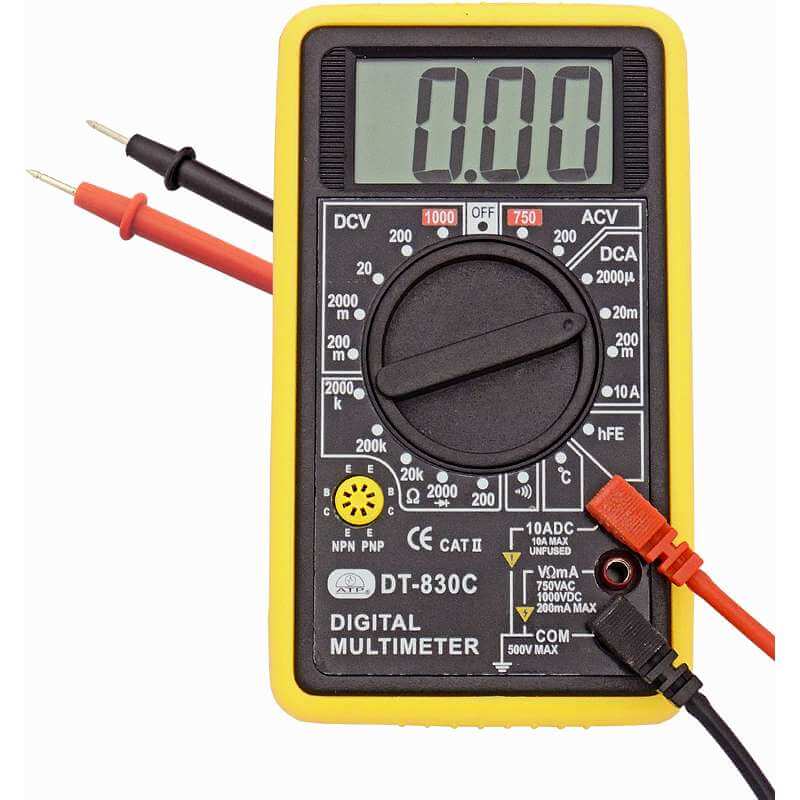
Voltage Detection
Key considerations when carrying out Utility Mapping
One of the core challenges for utility surveyors is the reliability of pre-existing data. It would be wise to assume that historical data might be out of date or inaccurate. Therefore carrying out a comprehensive utility mapping survey yourself, to confirm or correct pre-existing assumptions is essential before excavation work begins.
Establishing the precise location of buried utilities greatly reduces the risk of utility strikes and enables more efficient planning.
Identifying underground utilities made easy
SCCS provide an entire suite of utility detection and workplace safety solutions that enable site operators to identify underground assets efficiently, increasing peace of mind as you will feel confident you know what is below your feet, or digger.
This technology minimises health and safety risks and eradicates unplanned costs and downtime.
How to Prevent a Utility Strike
Eradicate the risk of utility strikes during excavation works with intelligent detection solutions that maximise the safety of site workers, reduce downtime and lower unplanned costs.
Underground Cable Locators
An essential tool for any utility and civil engineering companies during the utility mapping process. Underground cable locators allow operators to establish precise locations of power cables and conductive utilities, such as metal pipes and telecommunications cables.
Planning and Verification Utility Mapping
Create a digital map of underground networks for greater planning accuracy.
By combining underground detection processes with topographic surveys civil engineers can build a 3D picture of the underground utility set-up.
Utility Tracing with Leica ULTRA
The Leica ULTRA utility detection and tracing system precisely locates buried utility lines to ensure your team carry out safe underground excavations. The tool is easy to use and has been proven to increase the confidence of operators before breaking ground.
The Leica ULTRA is also built to deal with utilities that run close to an obstruction. By using Offset Measuring the utility detection tool can locate the target line even when access from directly above it is inhibited.
Utility Detection Radar
Ideal for civil engineering companies carrying out repair and maintenance work of infrastructure as well as survey engineers looking to expand their service offering to clients.
Tools such as the Leica DSX and DS2000 are used to easily uncover utilities with real-time data on-site for rapid decision-making. The data is presented in a user-friendly manner so details can be shared across the workforce in a way that everyone can understand.
Engineers and survey companies love these tools as they provide reliable detection results. In addition, the Leica DSX utility detention solution can provide a 2D/3D utility map on-site in just minutes, enabling operators to review the data in CAD or BIM formats and export the results to quick reports that can be used instantly.
View ground-penetrating radar solutions here.
Utility Detection and Workforce Safety Accessories
From gas detectors to safety at height, inspection cameras and thermal imaging, this is your one-stop-shop for all utility project safety equipment.
Utility Detection Training at the SCCS Survey School
Imagine a training facility where you can get practical experience using utility detection and mapping tools in the field. Our training school replicates real construction sites to provide realistic hands-on training from qualified instructors.
The school facilities also provide modern classrooms enabling trainees to go from theory to practical in an instant.
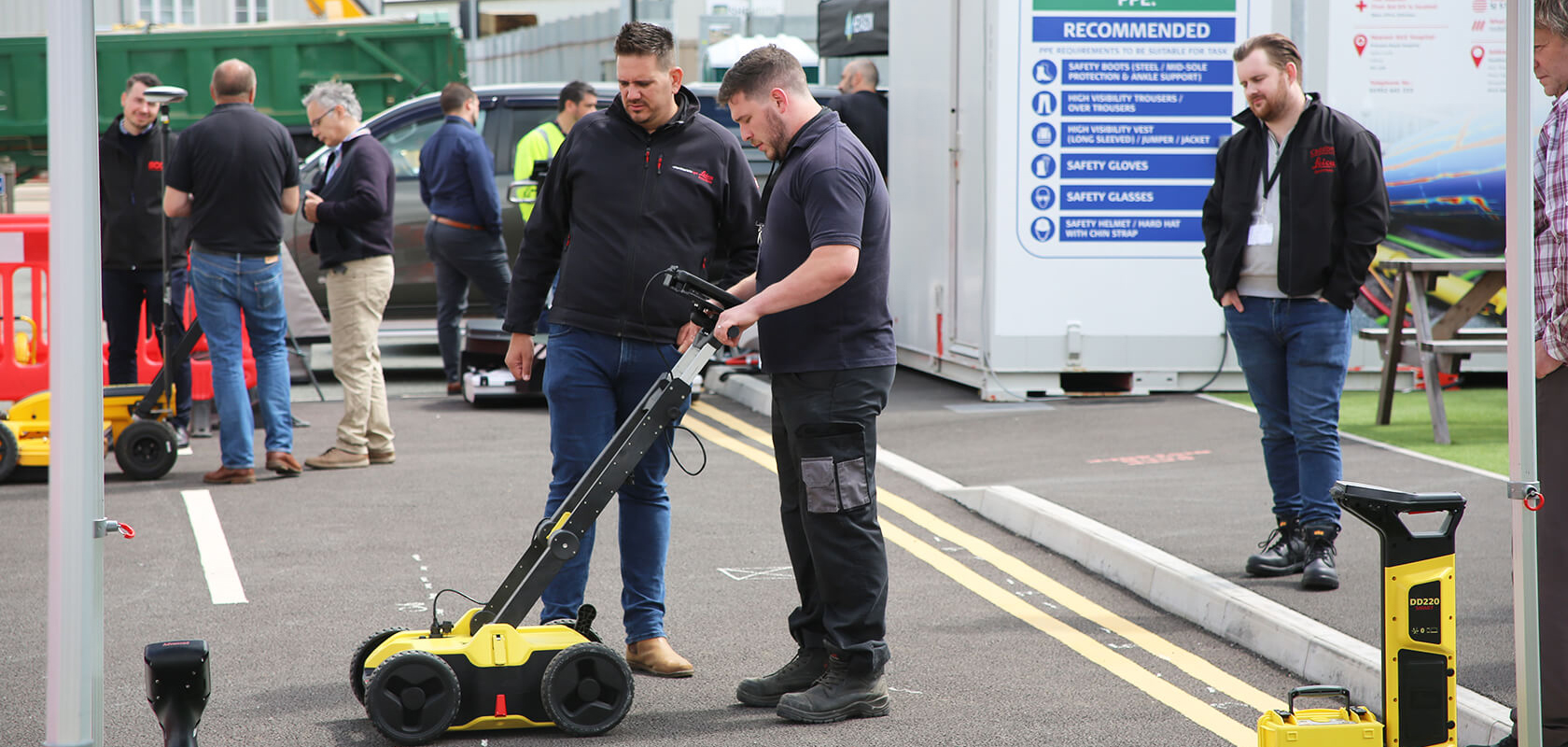
Discover the Detection Zone
This area recreates the experience of using cable avoidance equipment in a variety of site conditions. This site can recreate many of the restrictions that influence the accuracy and reliability of locating underground utilities, making our school a unique and interactive learning experience.
Explore the Building Solutions Zone
This zone provides an excavator with a machine control installation on top of a sand pile. This enables students to experience machine control tools whilst in a safe environment.
Jump into the Arena
This 9,000m2 sand zone is used for excavator, dozer and grader demonstrations and training. Students will use on-site cabins to get to grips with the theoretical concepts first before heading into the sand zone to gain real-life practical experience within a controlled environment. Students watching can view the live demonstrations via a viewing platform that enables them to see the entire arena.
