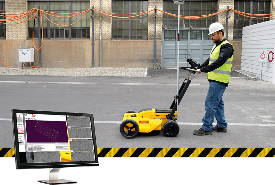
DX Office Vision is Leica Geosystems’ Utility Post Processing Software that allows DS2000 users to map digitally the detected underground utilities in a simple way by converting GPR data into CAD drawings.

Key benefits:
- Create CAD drawings of the detected utilities in an uncomplicated way in minimum time and with less training.
- View collected data of the detected utilities in a simple way - compare data files side by side or from top to bottom to locate consistent features.
- Obtain CAD drawings in 3D with object attributes in different layers – filter, select, identify and make annotations of consistent targets and anomalies.
- Reduce processing time with no intermediate converting, third party software or patch required.
- Visualise radar data from your DS2000 with an intuitive interface.
- Merge your DX Office Vision Data with other Leica detection products like DS2000, Digicat and Ultra.
Take over data processing into CAD drawings with confidence and simplicity
For utility surveyors looking to map digitally the detected underground utilities, DX Office Vision is the post processing software with the fastest conversion speed and most intuitive interface to convert GPR data into CAD drawings for every user. DX Office Vision was developed by utility mapping contractors who are every day on the field, and understand the need of delivering 3D CAD drawings in an efficient way.
DX Office Vision features:
- Automatic data import
- Automatic pre-set filtering
- Real-world depth calibration
- 3D CAD export
- Target addition, Target connectivity, Depth filtering
DX Office Vision X-Section:
Additional to DX Office Vision,
- Velocity Depth Calibration
- 3D CAD view (fully navigable)
- Time Slice Function