Industry News
-
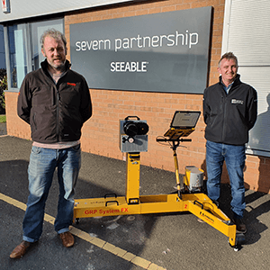
Severn Partnership Investment in Amberg IMS 5000
We are pleased to support Severn Partnership who recently invested an Amberg IMS5000 system at the start of the year to carry out surveys of the Rail infrastructure by collecting track geometry information and a 3D Pointcloud. For more information on the Amberg IMS 5000 please visit: https://www.sccssurvey.co.uk/amberg-rail-clearance-ims-5000.html and further information on our rail and tunnelling solutions here: https://www.sccssurvey.co.uk/surveying-equipment-instruments/rail-and-tunnelling-solutions.html -
Webinar - Ask The Experts
Update: watch the recorded webinar now. We are hosting a lunchtime 'Ask the Experts' Q&A session this Friday at 1 pm-1.30 pm BST. It's a great opportunity to present questions to our team of experts in surveying & geomatics, Leica iCON and building solutions, machine control and reality capture/laser scanning. We will also be advising on software solutions and... -
SCCS Statement to Customers - Covid-19
At SCCS, we remain committed to our customers who are having to deal with the effects of Covid-19 (Coronavirus). Your health and well-being continue to be our priority, just as it is for our employees and the communities in which we work. As part of a wider global technology company, SCCS’ robust systems and procedures ensure that we are... -
LOC8 for iCON Construction Total Stations
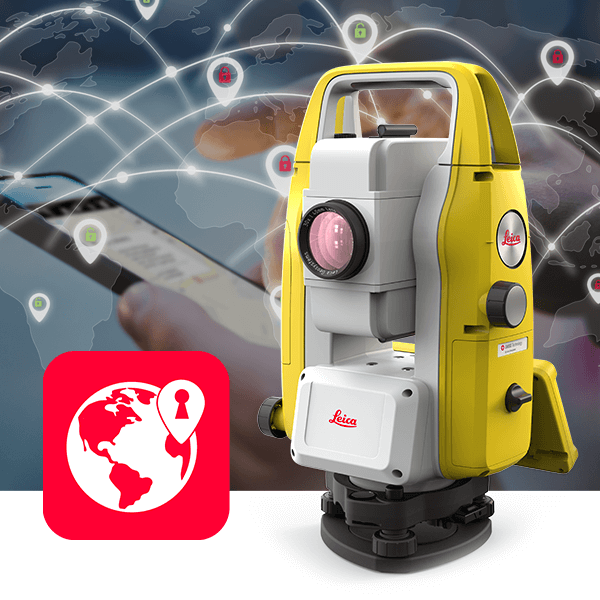
LOC8 theft deterrence and location device is now available for Leica iCON Construction Total Stations including the iCR70, iCR80, iCR80S, iCB50, iCB70 allowing them to be tracked and locked on demand. For all business owners and employees of Survey & Mapping, Civil Engineering and Building Construction industries, LOC8 is an essential addition to total stations. With the flexibility to receive... -
Wisen Wireless Mesh Network Solution receives full Network Rail approval
SCCS is very happy to announce that the Wisen Wireless Mesh Network Solution has now received full Network Rail acceptance and approval PA05/06364. The #WisenMeshNet Solution includes fully automated rail geometry computation (cant, twist and longitudinal settlement profile). The resultant data is ready to be seamlessly integrated into any third-party software and Leica Geosystems #GeoMoS able, include and compare total...


