SCCS will be exhibiting at the EZiCAT i750 and Leica DS2000 at No-Dig Live 2016. 20th - 22nd September. Peterborough Arena, East of England Showground. Stand 23 The Cable Detection EZiCAT i750 SMART is the world’s first SMARTREADY locator, capable of seamless communication to 94% of mobile technologies. Connects to both Apple and Android devices to allow in field transfer...
SCCS News
-
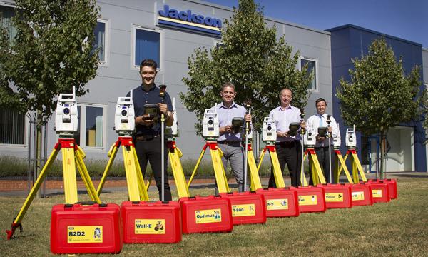
SCCS supply Jackson Civil Engineering with state-of-the-art surveying kit
SCCS supply Jackson Civil Engineering with state-of-the-art surveying kit in a bid to work smarter and more efficiently. The investment consists of ten top of the range Leica Total Stations which have been purchased in order to standardise the Jackson fleet. A LEAN review earlier this year identified that the variety of instruments used by our engineers was wide ranging... -
MicroSurvey STAR*NET 8.2 Release
FREE upgrade to all SCCS customers who are currently using MicroSurvey STAR*NET on an existing maintenance contract. Excellent offers for all new or existing out of software maintenancecustomers, please contact us for details. MicroSurvey Software Inc. is pleased to announce the release of MicroSurvey STAR*NET 8.2, the latest and highly anticipated version of the industry-leading STAR*NET least squares network adjustment... -
Changes to Ordnance Survey GNSS control networks and geoid models for Great Britain, Ireland and Northern Ireland
The three Ordnance Survey organisations have been working together to improve the OSGM02 geoid model resulting in OSGM15. OSGB has also updated the horizontal transformation OSTN02 to create OSTN15. The horizontal transformation polynomial for Ireland and Northern Ireland is unchanged. OSGB, OSI and OSNI will all switch to using the new systems on 26th August 2016. At the same time... -
NCTech Measurement Module for its industrial-grade iSTAR panoramic camera
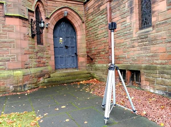
The iSTAR 360° camera in combination with the iSTAR Measurement Module provides a solution for rapid and intuitive point-to-point measurement based on photogrammetric techniques using pairs of panoramas with a known offset, directly within the immersive workspace. iSTAR can rapidly provide HDR 360° images automatically in just one shot and can be set to capture a single exposure, five or...
